
German fertiliser rules at a turning point: the Federal Administrative Court judgment of 13 January 2026
Farmers’ associations call it a watershed. Rules will move from flat caps toward site-specific expertise — farms already zoning applications are ahead.
At a glance
The national fertiliser ordinance will be redesigned. Farms that already fertilise by zone have a measurable head start.
Related:
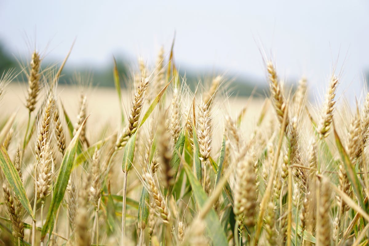
Application maps & fertilisation zones
What happened on 13 January 2026
Germany’s Federal Administrative Court signalled that the current ordinance cannot continue unchanged. The Bavarian Farmers’ Association called the judgment a “turning point” and demanded less bureaucracy, more agronomic rigour, and effective water protection.
That is a political mandate to redesign the rules. Timing is open; direction is not: site-specific, evidence-based fertilisation instead of one-size-fits-all hectare caps that often miss agronomic reality.
The structural flaw of the old approach
The old logic treated very different parts of a field as identical. Example: 40 ha, sandy on the west, clayey on the east — nutrient retention can differ by a factor of two to three. A single N cap treats both zones the same: sand is over-fertilised, clay is under-fed, yet the paperwork can still look “compliant”. That hurts groundwater and margin.
What “more expertise” means in practice
1. Differentiation by real soil variation
Not by cadastre lines alone, but by true management zones — a field can hold three to five meaningful zones.
2. Dynamic N demand
Beyond static tables: demand from canopy development (NDVI, LAI), weather, and soil moisture — technically feasible today.
3. Zone-level documentation
If you apply differentially, you must record differentially — application maps and logs must reflect variation, not one number per field.
Why grid soil sampling is not enough
Grid sampling smooths between points; the map can hide real variability. Where grids look uniform, spectral zones often show clear differences in organic matter, water storage, and nutrient availability.
Mathias Dippe in Saxony-Anhalt compared approaches with us: finer sampling grids plus soil maps cut fertiliser by up to ~50% and saved about six hours of scouting per week — an operational result, not a slogan.
Zonal fertilisation in three steps
- Step 1 — Find zones: multi-year satellite signals and terrain models, typically three to six zones per field.
- Step 2 — Sample on purpose: five to eight composites from zones instead of twenty blind grid cells.
- Step 3 — Model maps: continuous soil property surfaces combining satellite, terrain, and lab data — then export application maps to the spreader.
What farms can do now
A new ordinance is coming; the headline is clear: site-specific, professional, documented. Farms already working this way are compliance-ready, often save 20–50% on fertiliser, and build the history needed for audits, CAP crisis claims, and water protection evidence.
A practical 2026 recommendation
If you still fertilise flat, start in 2026 with two or three heterogeneous fields, measure, model, compare, then scale. Entry cost is modest; savings often pay back within the first season.
Bottom line
The judgment is not a legal footnote — it is a mandate to rethink fertiliser law. Model-based soil maps and zonal application pay in economics, compliance, and ecology.
Want to see how your fields really vary?
We can walk one example field and show what modelled soil maps change — no obligation.
Sources: Federal Administrative Court, judgment 13 Jan 2026 | Bavarian Farmers’ Association press release 13 Jan 2026 | Xsupra customer reference Agrar Dippe GmbH
Pruébalo ahora
Vea cómo funciona Xsupra en sus parcelas — gratis para empezar.
Gratis para empezar — sin tarjeta de crédito