A New Standard in Field Intelligence
How Xsupra connects sampling, mapping, and application planning into one workflow that actually holds together.
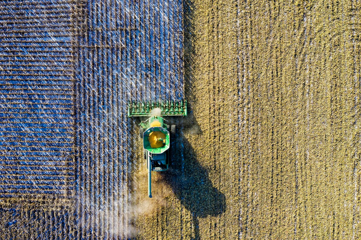
The disconnect in precision agriculture
Precision agriculture has come a long way in the last decade. Satellite imagery, yield maps, variable rate spreaders — they're all available now. But on most farms, these tools still operate in silos. Sampling follows one logic, mapping follows another, and fertilization decisions are based on yet another set of assumptions. You end up with a chain of steps that don't actually build on each other.
A coherent process
We built Xsupra's workflow to fix that disconnect. Rather than treating sampling, mapping, and application planning as separate tasks that happen to share a field, we designed them as a single process where each step feeds directly into the next. It starts with the field's environmental structure. Using spectral data collected across multiple growing seasons, we segment the field into management zones that reflect how it actually behaves — not arbitrary grid cells, but real agronomic units shaped by soil type, moisture dynamics, and terrain. From each zone, we collect one representative soil sample.
From sampling to mapping to application
Once the lab results come back, we extend them across the field using the same environmental structure that defined the zones. Instead of estimating values based on distance alone, we predict soil properties based on how similar each location's environment is to a sampled zone. The result is a continuous soil map that stays consistent with the original zoning. Those property values then get classified into fertilization groups — each with a defined application rate. Areas with similar soil status get the same recommendation. What comes out is an application map that's both agronomically sound and practically executable.
Advantages over traditional methods
Compared to conventional approaches, the difference is tangible. Grid sampling often creates redundant samples in uniform areas while missing important transitions. Standard interpolation can smooth out variability that actually matters. Our process avoids both problems. Sampling targets environmental representation, not geometric spacing. Mapping relies on structural similarity, not simple distance-weighting. Application rates come from measured soil data, not surface symptoms. And because every stage shares the same foundation, there's no disconnect between how you sampled, how you mapped, and how you fertilize.
Measurable benefits
What does this mean in practice? Fewer samples that actually tell you more. Soil maps that match what you see in the field. Lower risk of over- or under-fertilizing. Management zones that work with your precision equipment. Better input efficiency and healthier soils over time.
Bottom line
We didn't set out to build another mapping tool. We built a decision system. From field boundary to management zones, from lab results to soil maps, from soil maps to application zones — it's one connected workflow. Not a collection of disconnected steps. That's what we mean by field intelligence.

Wypróbuj teraz
Zobacz, jak Xsupra działa na Państwa polach — bezpłatny start.
Bezpłatny start — bez karty kredytowej