From Grids to Spectral-Based Management Zones
Why spectral-based zones deliver more meaningful soil samples than rigid grids.
The limits of grid sampling
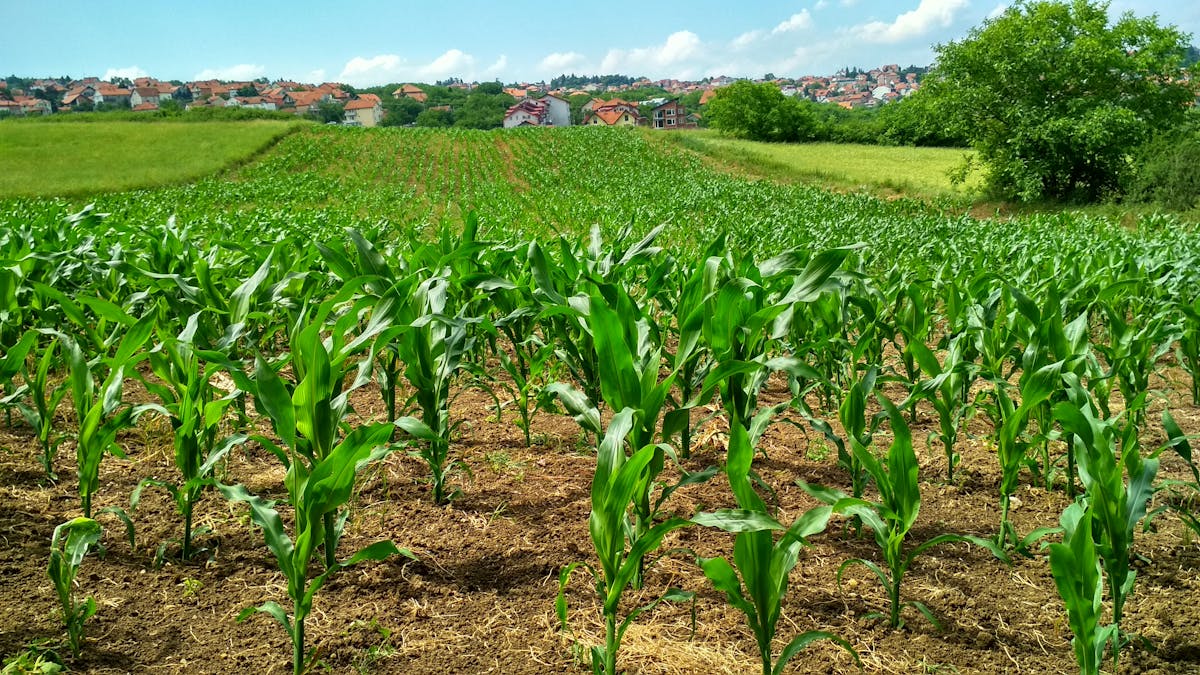
Most soil sampling still starts the same way: lay a grid over the field, take a sample from each square. The logic seems sound — even spacing should give you a decent picture of what's going on underground. But soil doesn't care about your grid lines. Variability across a field is driven by decades of interaction between soil formation, moisture patterns, drainage, crop history, compaction, and terrain. These processes create zones that behave differently year after year. Some spots hold moisture well into summer. Others dry out fast or warm up earlier in spring. Some respond strongly to fertilizer; others barely move because they're limited by what's happening deeper down. Those boundaries almost never line up with a neat grid.
How spectral zoning works
Instead of overlaying an artificial grid, we build management zones from spectral data — integrated environmental signals captured across the growing season. These signals tell us how each part of the field actually behaves over time, not just what it looks like on a single date. By looking at long-term spectral patterns, we can identify areas that consistently respond in similar ways. Pixels with matching behavior get grouped together, and the result is a set of zones that follow real agronomic structure rather than arbitrary geometry.
From zones to samples
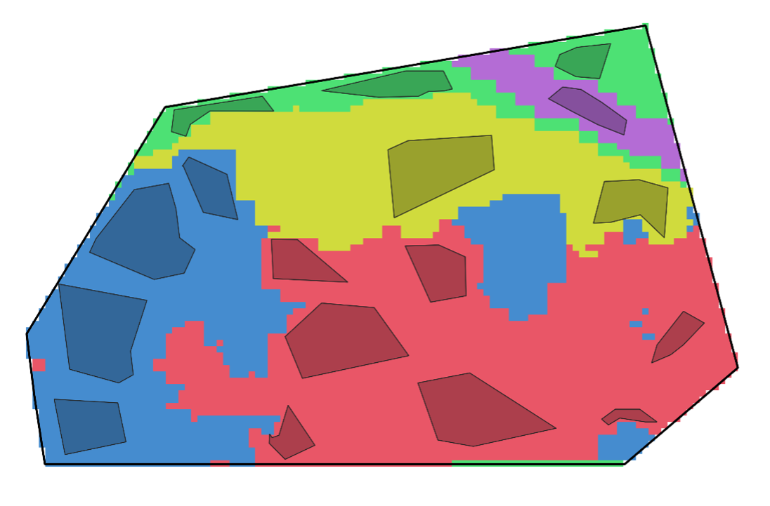
The image above shows what this looks like in practice. Each colored area is a distinct spectral management zone with its own environmental signature — meaning it responds differently to moisture, nutrients, and growing conditions. Inside each zone, we place a representative sampling area and collect one composite soil sample from it. That's a key difference: instead of scattering multiple samples across uniform grid cells, we take one well-placed sample that genuinely represents a consistent area.
Why this matters
This changes sampling quality in ways that carry through the entire workflow. Grid sampling tends to put several samples in areas that are effectively identical — wasted effort. Spectral zoning cuts that redundancy. It also captures the real transitions in a field, because zone boundaries follow natural variability instead of arbitrary straight lines. And because each sample represents a clearly defined management unit, the lab results can be extended across the zone with much more confidence. That makes everything downstream — soil maps, application maps — more reliable.
Bottom line
Grid sampling optimizes for coverage. Spectral zoning optimizes for meaning. When you let the field's actual behavior define where you sample, every probe tells you more. That's where better soil maps and smarter fertilization start.

Încercați acum
Vedeți cum funcționează Xsupra pe parcelele dumneavoastră — gratuit pentru început.
Gratuit pentru început — fără card de credit