
Extreme weather in 2026: why insurance alone is not enough — and how satellite data makes damage visible earlier
Crisis aid is application-based. Without solid before-and-after evidence even a strong claim stays theoretical — multi-year satellite history is what changes outcomes.
At a glance
Omnibus III opens new crisis payments — but without data you argue against an agency’s memory. Satellite timelines supply facts.
Related:
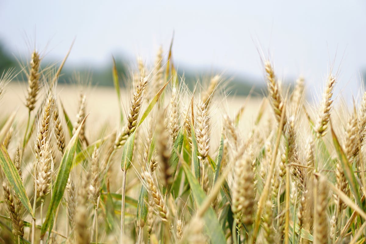
Monitoring · NDVI and rainfall analysis
What is moving in EU farm policy in 2026
The January 2026 Agri Council made it plain: extreme weather is operational reality. After storm and drought impacts, ministers pushed to revise crisis tools. Omnibus III lets member states compensate active farmers — large flexibility numbers were discussed — which only helps if you can prove loss.
The evidence problem
After heavy rain, drought, or hail the question is not whether damage happened, but how large it was.
- What did the canopy look like before the event?
- How did it develop afterwards?
- How does that compare with the multi-year normal for that field?
Most farms cannot answer cleanly. Phone photos without geotags and gut feel beat time series — insurers and agencies often hold more structured data. Starting documentation only after the event is usually too late.
What satellite data changes
NDVI history since 2018
Year-on-year vegetation trajectories — drought, hail, late frost show up in the curve.
Daily monitoring
Anomalies and moisture stress — often visible roughly two weeks before the eye sees them.
Reference comparisons
Your own multi-year baseline plus neighbourhood context — field-specific vs regional patterns.
Several indices
NDVI, NDWI, LAI, radar under cloud — diagnosis needs combination, not one number.
Three scenarios
Late frost in April
The crop may green up again — NDVI history still shows growth lag vs the multi-year line; with weather data you can pin timing.
Heavy rain in June
Flooded strips are hard to map two weeks later — NDWI right after the event captures inundated area.
Drought in August
Neighbouring fields diverge — history shows whether your field suffered more than average.
Insurance and public aid
Private yield insurance and public crisis schemes both need evidence: timing, extent, plausibility. One consistent geospatial time series across all fields beats ad-hoc folders.
What farms should do today
You cannot manufacture history for years you already lived. With Xsupra you can unlock Sentinel archives back to 2018 as soon as boundaries are digitised.
- Digitise fields — boundaries, crops, rotations.
- Activate satellite history — we pull ESA archives for your parcels.
- Turn on daily monitoring — app or five-minute Alora audio briefing.
When damage hits, the stack is already there — auditable.
Bottom line
Extreme weather is no longer a “future risk”. Insurance and crisis schemes matter — but they only pay as well as your evidence. Satellite history is the documentation that turns euros on paper into euros in the account.
See what your fields already say — including the past
In fifteen minutes we can show what NDVI history looks like for your fields.
Sources: EU Agri Council 26 Jan 2026 | DE federal ministry council notes Feb 2026 | ESA Copernicus Sentinel-2 | Xsupra NDVI–rainfall work Saxony-Anhalt 2018–2024
Try it now
Se hur Xsupra fungerar på dina fält. Gratis att komma igång.
Gratis att komma igång, inget kreditkort krävs